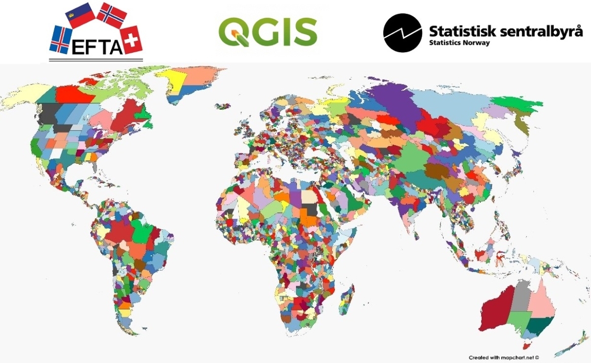
Course on statistical production with Geographical Information Systems

EFTA in partnership with Statistics Norway organised a training course on producing official statistics with Geographical Information Systems (GIS) using the open source tool QGIS. The course was offered to EFTA partner countries in Eastern Europe, Central Asia and Caucasus. Using GIS in official statistics gives extended opportunities to visualise data based on geographical information.
The course covered the following main topics:
• Spatial data models
• Statistical mapping
• Vector grid statistics
• Coordinate systems
• Topology
• Quality
The course took place online with about 25 participants from seven EFTA partner countries.
Details
Related Category
ESO News
Related Section
Statistics